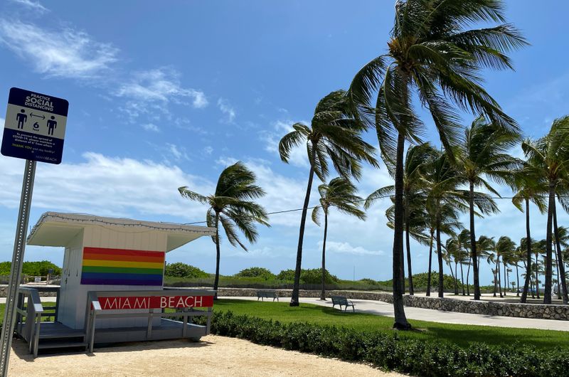
MIAMI (Reuters) - The Florida coast looked set to avoid major damage late on Sunday with Tropical Storm Isaias keeping offshore as it rumbles north, although it could strengthen to a hurricane by the time it reaches the Carolinas on Monday packing heavy winds and rain.
By 8 p.m. ET (0000 GMT), Isaias was about 55 miles (90 km) east-southeast of Cape Canaveral, Florida, heading north-northwestward with top sustained winds of 70 miles per hour (110 km per hour), the National Hurricane Center said.
After passing the Florida coast overnight, the storm is expected to keep offshore while grazing Georgia and southern South Carolina before heading inland over eastern South Carolina or southern North Carolina on Monday night.
"A turn toward the north and north-northeast along with an increase in forward speed is anticipated on Monday and Tuesday," said the NHC, which issued a hurricane watch for parts of South and North Carolina.
Storm surges, when a storm pushes tidal levels above normal, of up to 4 feet (1.22 m), and flooding also threatened some of the areas in Isaias' path, forecasters said.
Isaias, which was downgraded from a hurricane on Saturday, is expected to move upward along the East Coast and reach Washington, Philadelphia and New York City on Tuesday before moving into New England.
The Palm Beach area, where President Donald Trump's Mar-a-Lago resort is located, emerged largely unscathed from the storm after it brushed off the coast, with authorities reporting no widespread damage and no flooding.
"We still are experiencing some winds," Lisa DeLaRionda, a spokeswoman for Palm Beach County, said on Sunday. "However, based on the latest forecast, those winds should be dying down early afternoon."
Although it appeared that Isaias' impact on Florida would not be severe, the storm provided local emergency management with a "real-world scenario" of what extreme weather preparation and response could look like in the midst of a public health emergency as the states battles the coronavirus pandemic, DeLaRionda said.
As the storm slowly moved north along the coast, North Carolina Governor Roy Cooper said earlier on Sunday that Isaias had turned more inland, increasing the threat of heavy rain, flash flooding and tornadoes in the eastern part of the state.
"Right now, we expect the heaviest rain along the I-95 corridor with as much as seven inches in some places," Cooper told a news conference.
Isaias did not affect the return home on Sunday of two NASA astronauts, who rode to the International Space Station aboard SpaceX's new Crew Dragon.
They splashed down in the capsule in the Gulf of Mexico after a two-month voyage that was NASA's first crewed mission from home soil in nine years.

Isaias caused at least two deaths in the Dominican Republic and knocked out power for thousands of homes and businesses in Puerto Rico, according to media reports.