By Steve Gorman and Brendan O'Brien
LOS ANGELES (Reuters) -A newly formed Pacific storm swept into California on Thursday as forecasters warned of flooding from heavy downpours expected to drench much of the state, including mountain areas still blanketed in snow from recent blizzards.
The National Weather Service (NWS) issued excessive-rainfall alerts and flood watches, as well as high-wind advisories, for a wide swath of northern and central California encompassing the metropolitan areas around San Francisco Bay and Sacramento.
By Friday, when the storm is expected to reach its peak, excessive-rain and flood advisories will cover a region that is home to nearly 26 million people, extending as far south as Los Angeles, the state's largest city, according to NWS forecaster David Roth.
The storm is the product of what meteorologists call an atmospheric river, a high-altitude current of dense, subtropical moisture streaming into West Coast from the warm Pacific waters around Hawaii.
It marks the latest of 10 such California storms since Christmas, adding to an exceptionally wet, snowy winter in a state that in recent years has been plagued far more by drought and wildfires than by severe precipitation.
The growing frequency and intensity of such storms amid bouts of prolonged drought are symptomatic of human-caused climate change, experts say. The swing from one extreme to another has only increased the difficulty of managing California's precious water supplies while minimizing flood and wildfire risks.
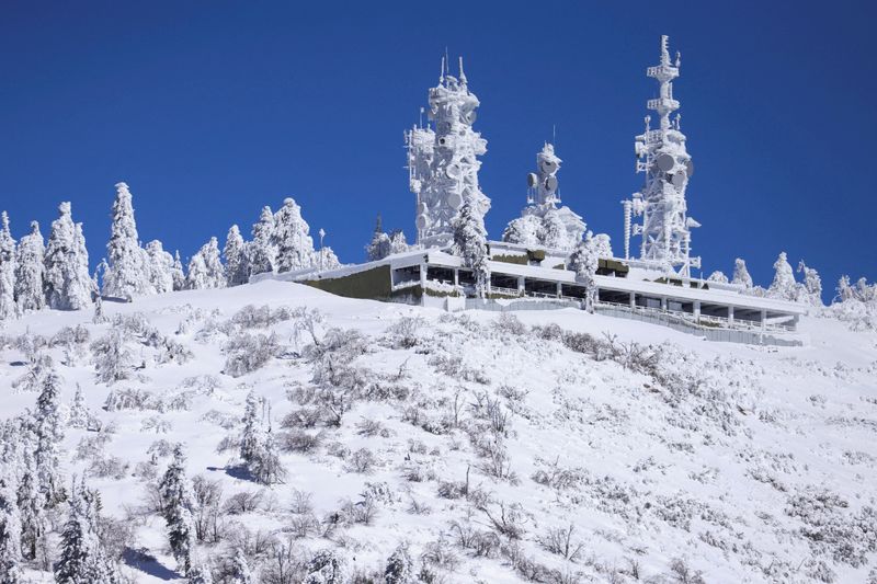
Forecasters said Thursday's blast will bring rain not only to low-lying regions but to mid-elevation mountains still digging out this week from a spate of blizzards, causing rapid snow melt that will add to runoff and flood hazards downstream.
Gusty winds accompanying the showers are expected to uproot a considerable number of trees loosely anchored in rain-soaked soils.
Rainfall totals of up to 5 inches (12.7 cm) were forecast for some low elevations, with as much of 10 inches (25.4 cm) possible in the Santa Cruz Mountains south of San Jose, and in the Santa Lucia Mountains along the coast near Big Sur, the NWS said.
The highest mountain regions - areas generally above 8,000 feet (2,400 meters) in the Sierra Nevada, the Cascades and coastal ranges - are likely to receive several feet of additional snow instead.
Heavy snowfall is expected to spread westward into portions of the Rockies by Friday, the weather service said.
"Most of the flooding concerns are for the lower-lying areas susceptible to rapid river and stream rises," NWS Weather Prediction Center meteorologist William Churchill said.
Waterfront communities along several major rivers braced for the possibility of overflowing streambeds.
In Tulare County, Sheriff Mike Boudreaux issued an evacuation warning for homes and businesses along a stretch of the Kings River, which drains the Sierra range, in advance of "this rain-on-snow event."
Elsewhere, the NWS issued "prepare now" alerts for residents along the Big Sur, Carmel, Salinas and Pajaro rivers.
Crews also scrambled to reinforce flood-weakened levees that were breached in flooding months ago along the Cosumnes River south of Sacramento, the San Francisco Chronicle reported.
In addition to the potential for rivers overtopping their banks, Roth said mudslide risks persist in areas downhill from mountain slopes and canyons stripped bare and left unstable by recent wildfires.
The latest deluge follows a barrage of nine atmospheric river storms that triggered widespread flooding, rockfalls and sinkholes across California from late December through mid-January. At least 20 deaths were attributed to the earlier storms.

Although damaging, this winter weather has eased a historic four-year dry spell in California, replenishing some badly depleted reservoirs and the Sierra snowpack, a critical source of fresh water for the state.
Another storm system brewing over the Pacific could come ashore California early next week, the weather service said.