HOUSTON (Reuters) - Tropical Storm Sally strengthened off the west coast of Florida on Sunday and was poised to become a category 2 hurricane, bringing the threat of dangerous storm surges and high winds to the U.S. Gulf Coast, the National Hurricane Center (NHC) said.
The storm track was disrupting oil production in the U.S. Gulf of Mexico for a second time in less than a month. The Miami-based NHC said the storm was likely to reach hurricane strength on Monday, and approach the north-central Gulf Coast late on Monday and Tuesday.
Hurricane conditions were expected by early Tuesday from Grand Isle, Louisiana to Ocean Springs, Mississippi, including New Orleans, the center said.
Louisiana Governor John Bel Edwards said he had spoken earlier in the day to U.S. President Donald Trump and had also requested a federal declaration of emergency in advance of Sally, which allows for early support from the federal government.
"We have every reason to believe that this storm represents a very significant threat to the people of southeast Louisiana," Bel Edwards told a news conference.
As of 4 p.m. CDT (2100 GMT), Sally was about 165 miles (265 km) south of Panama City, Florida, and heading west-northwest with top sustained winds of 60 miles per hour (95 kph).
Sally is expected to become a category 2 hurricane with 100-mile-per-hour (161-kph) winds by the time it makes landfall in southeast Louisiana on Tuesday, an official with the U.S. National Weather Service said.
"VERY, VERY HEAVY RAINFALL"
Sally carried the danger of storm surges - when the ocean rises at the coast over normal tide levels - of up to 11 feet (3.35 m), and rainfall of up to 12 inches (30 cm), the center said.
"The biggest issue here is going to be life-threatening storm surge and then the very, very heavy rainfall that's going to accompany this," said Jim Foerster, chief meteorologist for DTN, an energy, agriculture and weather data provider.
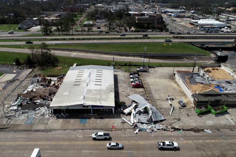
The storm follows Laura, which rampaged across the Gulf of Mexico three weeks ago and grew into a Category 4 hurricane with 150 mph (240 kph) winds. It shut hundreds of offshore oil facilities, leveled coastal Louisiana towns and left residents of Louisiana and Texas without power for weeks.
On Sunday, two more oil companies, BP Plc (L:BP) and Equinor ASA (OL:EQNR), evacuated staff from some offshore platforms following similar action by Chevron Corp (N:CVX) and Murphy Oil Corp (N:MUR) on Saturday.
BP said it evacuated non-essential workers from its Nakika and Thunderhorse platforms in the northeastern Gulf of Mexico, while Equinor shit its Titan platform.
Laura halted up to 1.5 million barrels per day of output and a half dozen refineries, two of which are still in the process of making repairs.
Mandatory evacuation was also ordered in parts of Louisiana on Sunday.
Further off in the Atlantic Ocean, Hurricane Paulette was moving closer to Bermuda, and was expected to move near or over the island on Monday morning, the NHC said. Paulette was carrying top sustained winds of 75 mph (120 kph) and was expected to strengthen during Sunday.
