By Erwin Seba
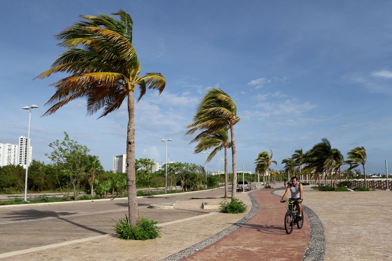
(Reuters) - Louisiana prepared for the sixth lashing this year from a Gulf Coast system as Tropical Storm Zeta sped off the Yucatan Peninsula bringing high winds and rain to a region still reeling from a series of storms.
Zeta was about 450 miles (720 km) from the mouth of the Mississippi River late on Tuesday and expected to hit an area between Louisiana and the Mississippi-Alabama border by late Wednesday at or near hurricane strength, the U.S. National Hurricane Center said.
New Orleans residents living outside the state's protective levee system were advised to seek higher ground, while coastal and low-lying communities along the state's Gulf Coast called for evacuations.
"No one should be complacent because it is late October," Governor John Bel Edwards said on Tuesday. "This season won't be over until the end of next month."
A total of 207 floodgates, out of 689, had been closed to prevent flooding, he said on Tuesday in Baton Rouge. Some 1,400 members of the Louisiana National Guard were standing by to help with recovery once the storm passed through, Edwards said.
The storm could bring hurricane winds and a 4-to-6-foot (1.8-m) storm surge from Port Fourchon, Louisiana, to the Pearl River in Mississippi, the NHC said. Rains initially are forecast to be 2 to 4 inches (5-10 cm) at the coast.
Oil and gas producers on Tuesday had evacuated 157 offshore production facilities and shut wells producing more than 900,000 barrels of oil and 1.5 billion cubic feet of natural gas.

A Louisiana landfall would make Zeta the fifth named storm to directly strike the state this year after Cristobal, Marco, Laura and Delta. Tropical Storm Beta went ashore over the border in Texas, bringing winds and flooding rains.
