By Erwin Seba
HOUSTON (Reuters) - Weather forecasters at Colorado State University (CSU) on Thursday predicted an "extremely active" 2024 Atlantic hurricane season because of warm sea surface temperatures and less wind shear to break up storms in the summer and fall.
The widely watched CSU forecast calls for five major hurricanes, or those with winds above 111 miles per hour (178 kph), out of 11 total hurricanes that are part of a projection for 23 named storms.
The forecasts are closely monitored by coastal communities and energy companies. The U.S. Gulf of Mexico accounts for 15% of total U.S. crude oil production and 5% of its dry natural gas production, and nearly 50% of the nation's oil-refining capacity resides on its shores.
"We anticipate a well above-average probability for major hurricanes making landfall along the continental United States coastline and in the Caribbean," CSU said.
An average hurricane season produces 14 named storms, of which seven lead to hurricanes and three become major cyclones.
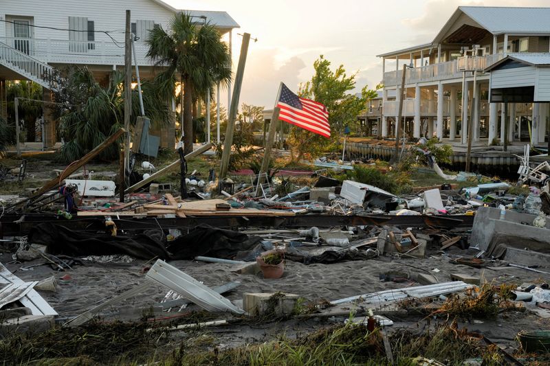
Last year, there were three major hurricanes that formed among seven hurricanes and 20 named storms, the fourth greatest number of named storms since 1950. The most damaging, Idalia, tore up the west coast of Florida and made landfall as a category 3 hurricane.
CSU's forecast is in line with other initial outlooks. Last week, AccuWeather said there was a 10-15% chance of 30 or more named storms in the 2024 hurricane season, which begins June 1 and runs to Nov. 30.

Phil Klotzbach, lead author of the CSU forecast, said 2024 appears similar to other very active hurricane seasons.
The basis for his forecast is above average sea surface temperatures that fuel hurricanes and the impending end to the El Nino weather pattern, which carries high winds that can break up storms in the Gulf of Mexico and Atlantic Ocean.